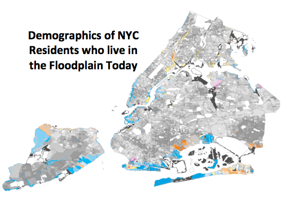
As climate change causes a rise in sea levels and increases the likelihood of flooding and major storms, we need to better understand who will be at risk during these events. Analyzing the floodplain reveals a larger story – the number of New Yorkers who are highly vulnerable to increased coastal storms is even higher than New York City has accounted for. We found that 14 percent of New Yorkers – 1.3 million people – live within or adjacent to the 100-year floodplain. Those communities have a 1% chance of experiencing a major disaster every year. If the impacts of climate change are left unabated, by 2100, this number could rise to 2.2 million.
Past disasters, such as Hurricane Sandy, and our recent experience with Covid-19, have laid bare the reality that these events disproportionately hurt the most vulnerable populations which can include characteristics such as socioeconomic status, race, ethnicity, language, age, health, and household composition.
Using the American Community Survey (2018) population data, all NYC block groups that intersect the 100-year floodplain were included. A block group is a contiguous cluster of census blocks, or city blocks.
Download maps here: Citywide, The Bronx, Manhattan, Queens, Brooklyn, and Staten Island.
Rebuild by Design sincerely thanks NRDC for collaboration on this project, along with Johanna Lawton, Nina Ndichu and Geethanjali M R.

