ABOUT THE PEOPLES PLAN

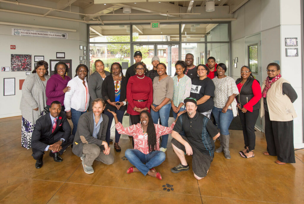
The Permaculture and Social Equity Team proposed a social design process to build community capacity in leading the challenges of coastal adaptation and resiliency planning. The team was invited to implement their process in Marin City by Shore Up Marin, an environmental justice and resiliency planning organization. Out of the process grew a capacity building program, resulting in an inspiring People’s Plan to authentically reflect the aspirations and intentions of the resident community. An intergenerational cohort expanded existing knowledge for assessing and addressing risks, developing near and long term strategies with a prioritized set of projects to be partially implemented as early as this summer.

READ THE FULL DESIGNING OUR OWN SOLUTIONS REPORT HERE

WATCH THE PEOPLES PLAN FINAL PRESENTATION

Where

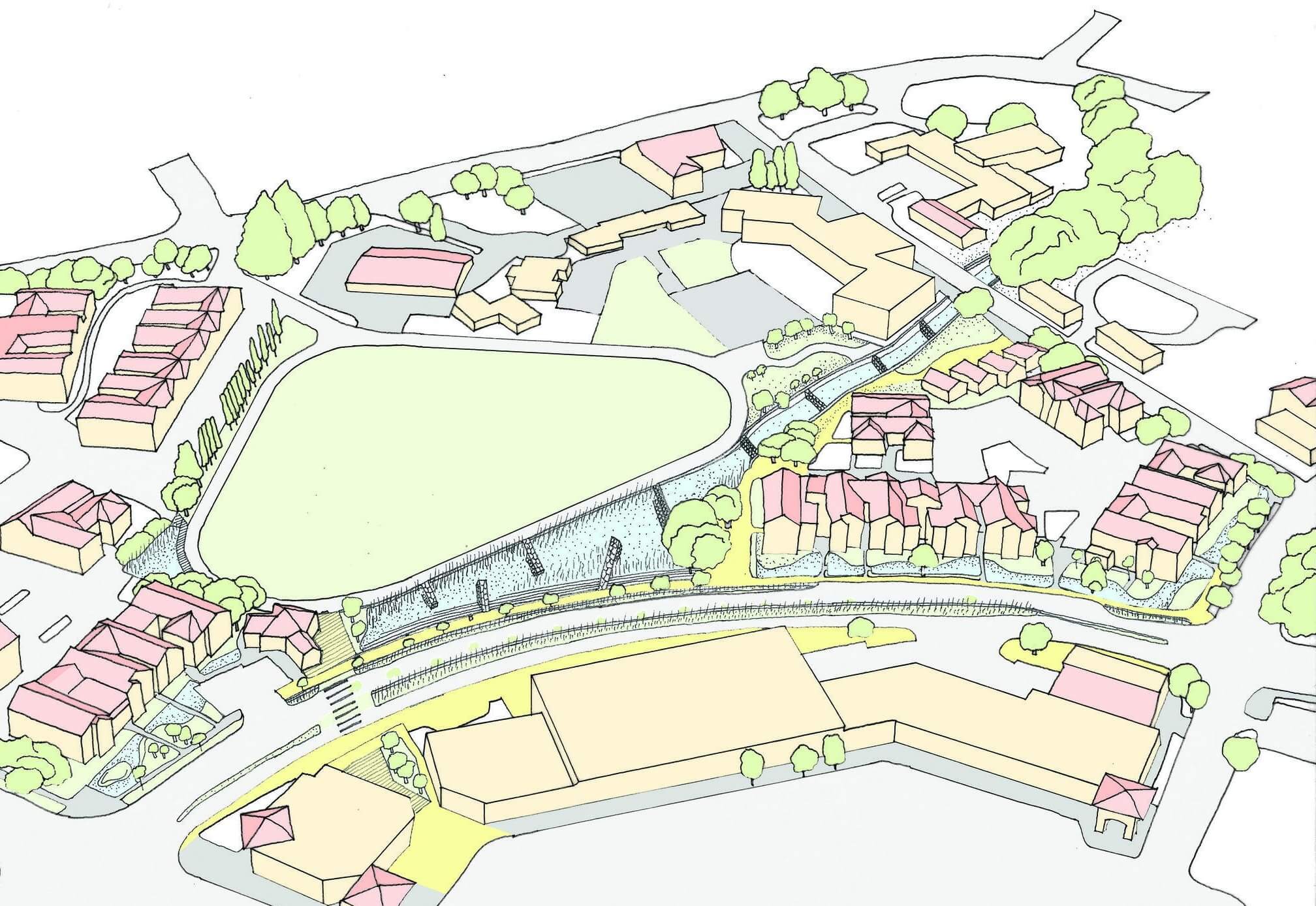
Marin City is a unique place within the larger more affluent Marin County in the Bay Area of Northern California. The community has low income level averages and a high population density of people of color. Poised perfectly at the Golden Gate, the small unincorporated enclave is in danger of succumbing to gentrification. There are commanding views in the steep wooded hilly residential neighborhoods which toe into more open commercial lowlands. Active church, school, nonprofit, and government groups anchor Marin City’s development. Large campuses of public housing dominate the mid ridges while private residences rim the hills. Marin City’s a bowl at the base of the watershed sandwiched between San Rafael and Sausalito north and south, and Richardson Bay and the Golden Gate National Recreation Area headlands east and west. Deeply eroded gullies, severely paved culverts, and inadequately sized pipes drain the watershed causing chronic serious flooding events. Sediment and debris often clog this infrastructure and have silted the only retention basin exacerbating the problem. Low lying pinch points and limited transportation corridors hamper ingress and egress during this inundation. Open space lacks within the community’s core.

What

Rather than only site specific, element and component-based designs, P+SET proposed an unconventional approach - a social design process which builds community capacity and ecoliteracy to address the challenges of coastal adaptation and resilience planning, especially in vulnerable communities experiencing generations of marginalization and exclusion. In a three month period, P+SET piloted this capacity building program in Marin City resulting in an incipient People’s Plan to authentically reflect aspirations and intentions of the resident community of place. An intergenerational cohort expanded existing knowledge for assessing and addressing risks and developing near and long term strategies with a prioritized set of projects to be immediately phased into partial implementation this summer. Additionally, the community enhanced their existing advocacy practices and literacy to more effectively engage with municipal, regulatory, and regional stakeholders. More importantly, P+SET reaffirmed the hypothesis that communities have skills, experiences, and strategies to solve local and regional problems they face. The opportunity was to transform the process of ‘engagement’ to one of authentic partnership - to initiate site design by first increasing the capacity of the resident community by recognizing, leveraging, and enhancing the already existing assets and initiatives in a place. This reparative capacity building approach, in its most elaborate form intends to redress the structural inequities and result in a comprehensive, living, People’s Plan to become a more effective starting point for the complex process of our collective adaptation to living in an uncertain climate.

Why

Norms of planning and development through community engagement are ineffective in the context of coastal adaptation and resilience planning. Chronically marginalized communities find themselves on the front lines of sea level rise with inadequate infrastructure, inequitable resources, and the imminent threat of displacement along with enduring stressors like food insecurity. Even well-intended municipal planners, designers, developers, and regulators can be seen as outsiders. Communities retreat into not trusting the intentions of those that engage them on ideas generated by an outside professionalized design culture with technical jargon. Proposals driven by market rate return capital financing tend to lead to exploitation. The normal process of assess, ideate, engage, iterate, then present overlooks the community’s capacity to generate or express their own self-determined solutions. Marin City is within the Richardson Bay watershed and Marin County Flood Control District Zone 3. With the steep hills on one side and developed areas and Highway 101 and the Richardson Bay on the other, Marin City chronically floods. Stormwater infrastructure and local drainage facilities, including pipes and ditches, are not sized adequately to convey flashy hillside runoff. This storm water carries high sediment or mud which heavily impacts local businesses and homeowners. Extreme events can inundate Highway 101 causing regional transportation breakdowns on the only road and major commuter corridor connecting Marin City to the rest of the county. Of greater impact locally, the one road in and out of the community, Donahue Street, is regularly flooded and closed more frequently.

The Team

P+SET is a multidisciplinary collaborative made up of permaculture designers and educators from the Urban Permaculture Institute, landscape architects from Yale University and Ross Martin Design, architecture students from Yale University, and Brock Dolman, cofounder and Program Director for the Occidental Arts & Ecology Center and the WATER Institute.

Next Steps

Although the course work is complete the students have agreed to meet weekly along with representatives of P+SET and SUM to begin the implementation of at least one site idea during the summer – literally a “shovel ready project” – and to continue capacity building training. The collaboration will also focus on targeting key funding sources and identifying still more. SUM and community members designed the best structure to support the long term updating and implementation of the People’s Plan. By the end of the summer all work will be reviewed and calibrated before going forward.

In the broader context the group will continue to work with Marin County Flood Control District Zone 3 to address the larger scale problems such as the flooding of Highway 101 and Donahue Street and the siltation of the retention basin as well as addressing the inadequate stormwater infrastructure. The students will work to refine and incorporate the ideas first generated during the course.

CPP and resultant People’s Plan development is applicable for any community with permanent human settlement. Some of the design ideas developed here are most relevant in the context of communities that have been marginalized and/or socially and economically oppressed.

Priority sites for implementation are best captured by the San Francisco Bay Community Vulnerability Map created by the Bay Conservation and Development Commission (BCDC) Adapting to Rising Tides (ART) program developed as part of the Stronger Housing, Safer Communities project led by the Association of Bay Area Governments (ABAG).
Translate