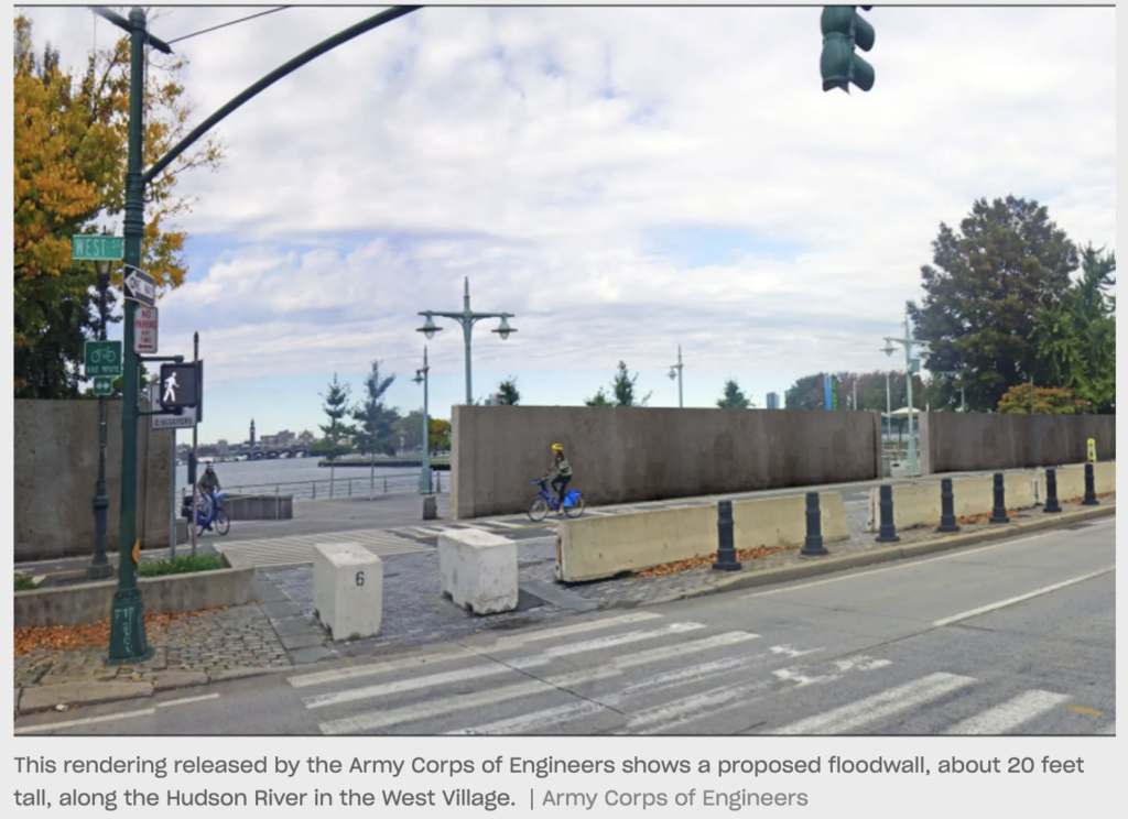
The City: Picture this: a concrete wall obscures Christopher Street Pier when looking west over the Hudson River. It’s one element of a six-mile-long necklace of levees, barriers, gates and sea walls stretching from Hudson Yards to Battery Park to guard against coastal storms and devastating flooding.
That’s all part of a $52 billion project proposed by the U.S. Army Corps of Engineers to protect the New York City region. The various projects could be finalized over the next few years.
A new series of renderings from the Army Corps offers a glimpse at what some of those dramatic projects could look like around New York City: near Flushing Bay in Queens, at Greenpoint Public Park and Coney Island in Brooklyn, among other places.
“To the extent that anybody is shocked by any of these renderings, we certainly can understand,” said Bryce Wisemiller, the Army Corps’ New York district project manager. “But this is a starting point that can only get better from here.”
Officials say local feedback is of paramount importance in order to shape the plan, which the Army Corps has been at work on since 2016 and is now presenting in detail throughout the region. The public may ask questions and offer opinions at a series of public meetings hosted by the Army Corps over the next month.
“You live in these neighborhoods, you play and work in these neighborhoods, so you are the experts in these areas, and so your feedback is super important,” said Cherry Mui, a senior policy advisor in the Mayor’s Office of Climate and Environmental Justice. Read more>>
