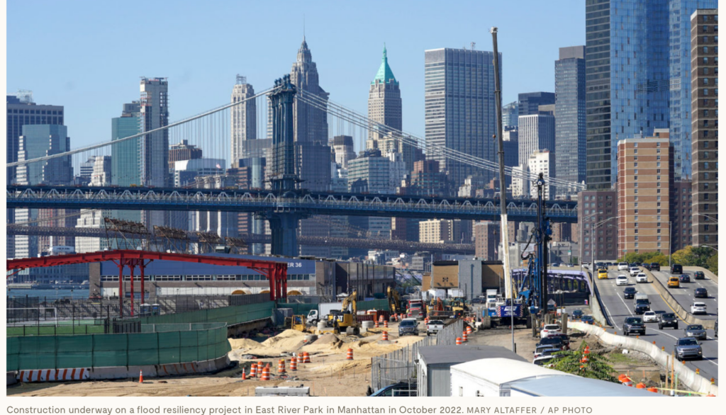
Yale Environment 360: On a recent morning in Asser Levy Playground, on Manhattan’s East Side, a group of retirees traded serves on a handball court adjacent to a recently completed 10-foot-high floodwall. Had a sudden storm caused the East River to start overtopping this barrier, a 79-foot-long floodgate would have begun gliding along a track, closing off the playground and keeping the handball players dry. In its small way, this 2.4-acre waterfront park is a major proof of concept for a city at the forefront of flood resilience planning — a city working toward living with, and not against, water.
The Asser Levy renovation, completed in 2022, is part of East Side Coastal Resiliency (ESCR), the largest urban resiliency project currently underway in the United States. Over the next three years, at a total cost of $1.8 billion, ESCR will reshape two-and-a-half miles of Lower Manhattan’s shoreline. But ESCR is just one link in a much larger, $2.7 billion initiative called the BIG U — a series of contiguous flood resilience projects that runs from Asser Levy, near 25th Street, around the southern tip of Manhattan, and up to Battery Park City, along the Hudson River. When finished, the BIG U will amount to 5.5 miles of new park space specifically designed to protect over 60,000 residents and billions of dollars in real estate against sea level rise and storm surges.
