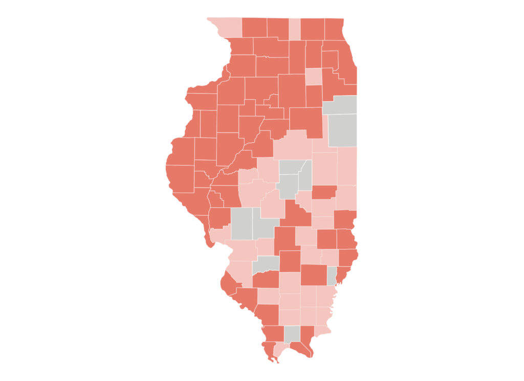
Illinois Read More »
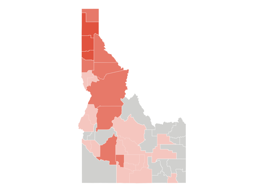
Idaho Read More »
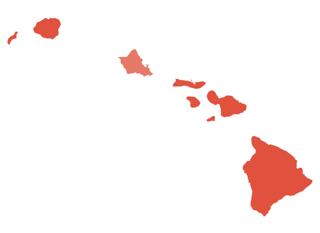
Hawaii Read More »
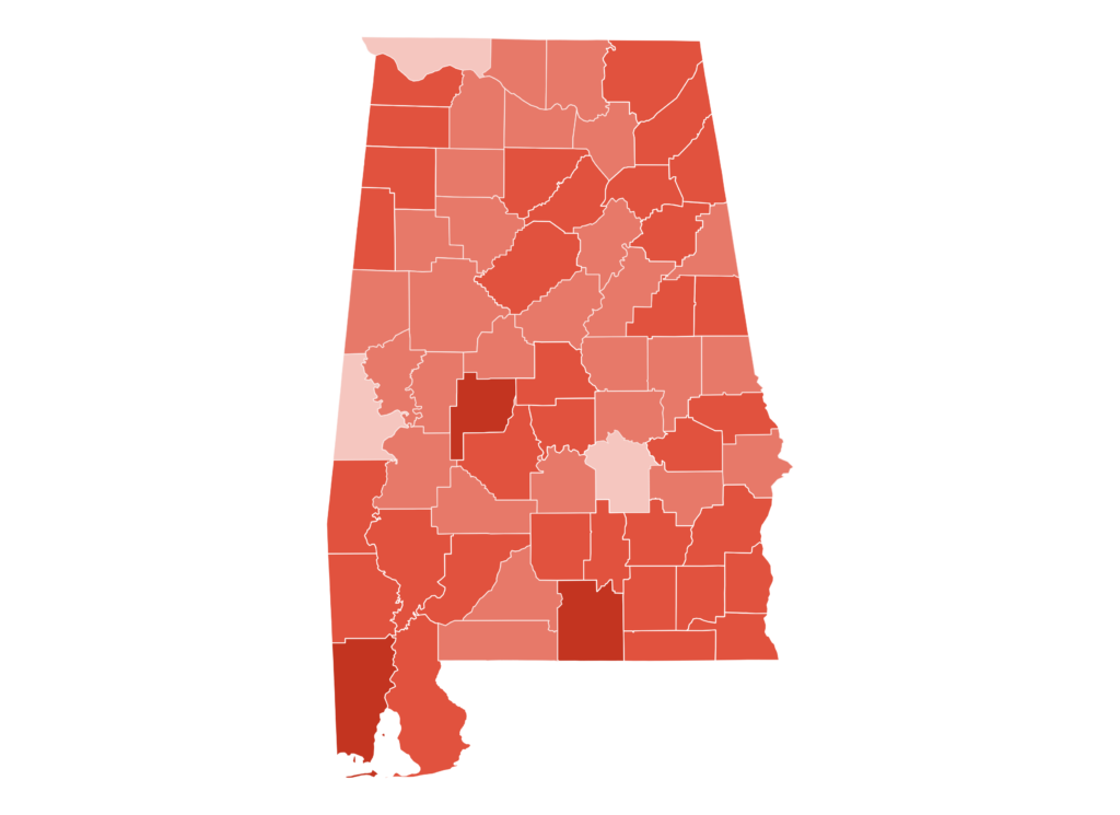
Alabama Read More »
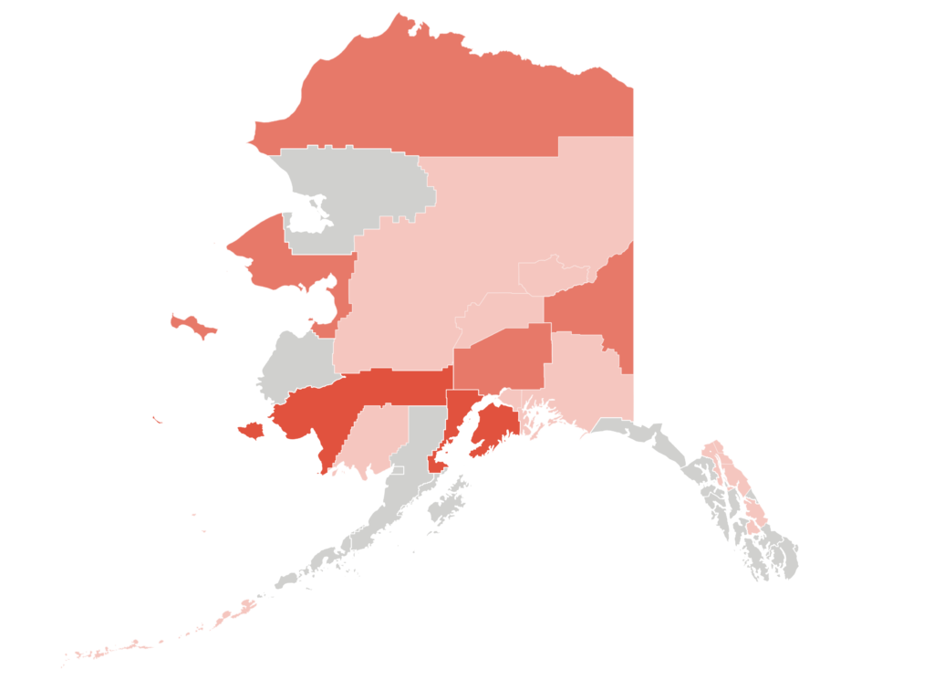
Alaska Read More »
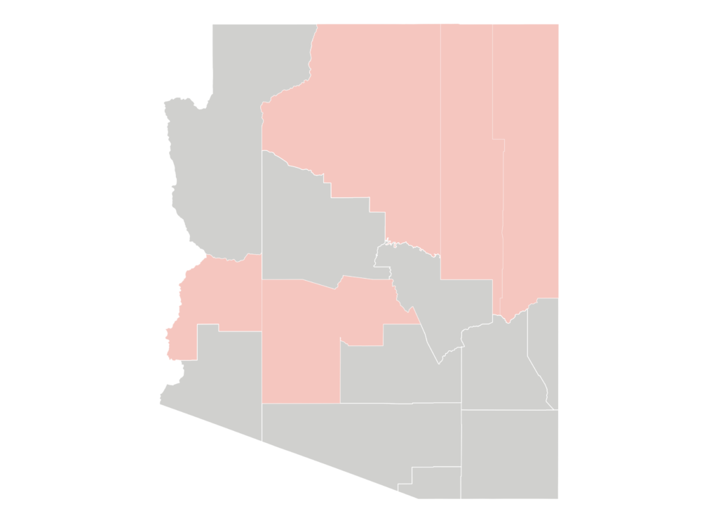
Arizona Read More »
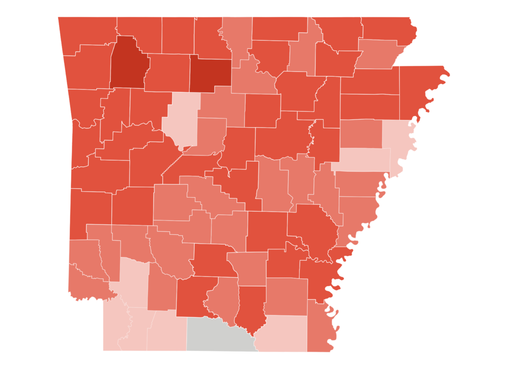
Arkansas Read More »
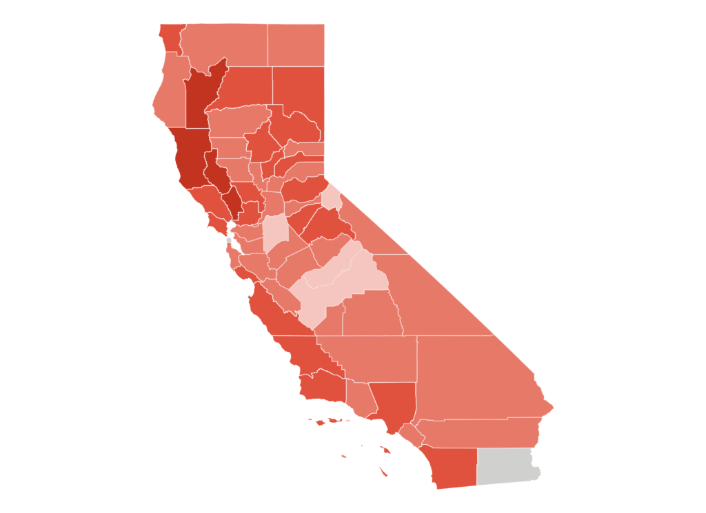
California Read More »
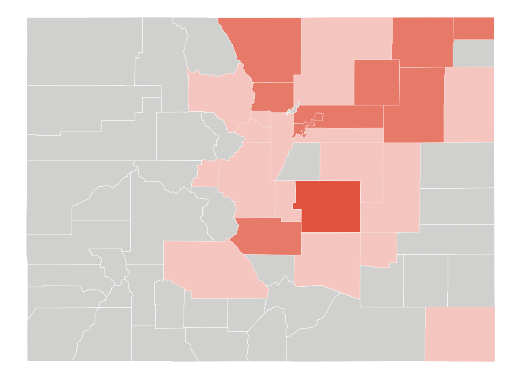
Colorado Read More »
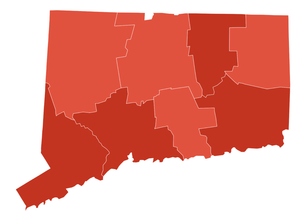
Connecticut Read More »