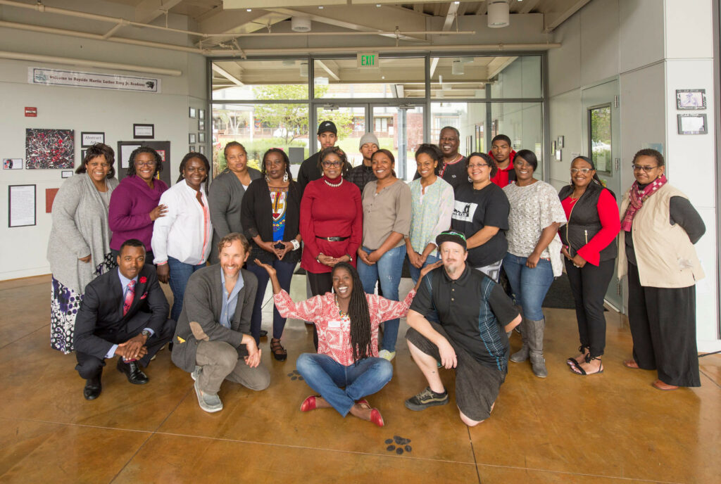
Although the course work is complete the students have agreed to meet weekly along with representatives of P+SET and SUM to begin the implementation of at least one site idea during the summer – literally a “shovel ready project” – and to continue capacity building training. The collaboration will also focus on targeting key funding sources and identifying still more. SUM and community members designed the best structure to support the long term updating and implementation of the People’s Plan. By the end of the summer all work will be reviewed and calibrated before going forward.
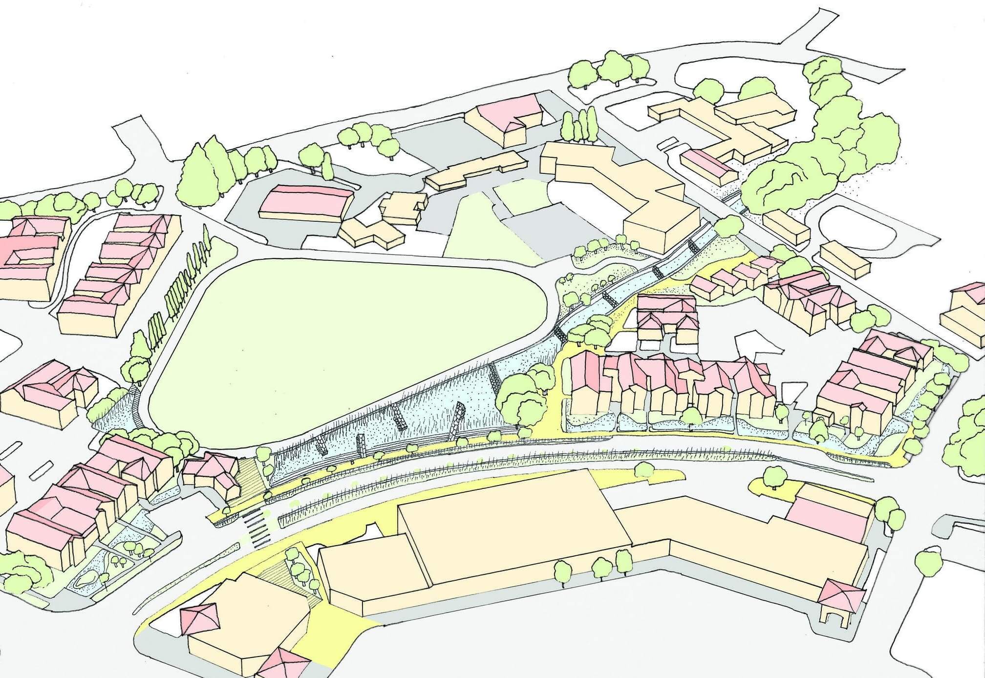
In the broader context the group will continue to work with Marin County Flood Control District Zone 3 to address the larger scale problems such as the flooding of Highway 101 and Donahue Street and the siltation of the retention basin as well as addressing the inadequate stormwater infrastructure. The students will work to refine and incorporate the ideas first generated during the course.
CPP and resultant People’s Plan development is applicable for any community with permanent human settlement. Some of the design ideas developed here are most relevant in the context of communities that have been marginalized and/or socially and economically oppressed.
Priority sites for implementation are best captured by the San Francisco Bay Community Vulnerability Map created by the Bay Conservation and Development Commission (BCDC) Adapting to Rising Tides (ART) program developed as part of the Stronger Housing, Safer Communities project led by the Association of Bay Area Governments (ABAG).