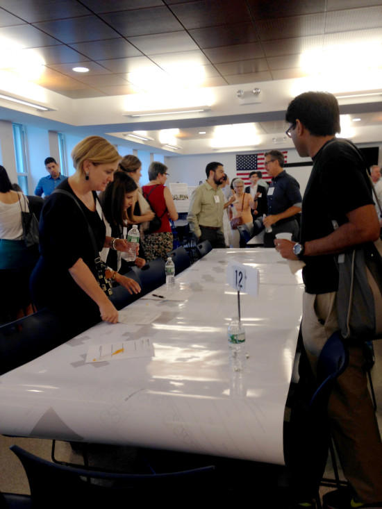
At the end of 2016, community members from Manhattan’s Lower East Side, East Village and Stuyvesant Town/ Peter Cooper Village met with city officials and planners during a series of meetings to view and comment on concept plans for flood risk reduction infrastructure along the East River waterfront from East 14th Street to East 25th Street in Manhattan. On view for the first time was a three-dimensional mockup that the City’s design team prepared to show how the combination of a landscaped raised berm, in the form of a promenade, could parallel East River Park and protect against a 100-year storm surge by tying into other flood-risk reduction barriers.
The berm will work in conjunction with “closures” (gates) that will be deployed across at-grade streets that provide access to and from the waterfront until adverse weather threatens to adjacent neighborhood – at which point the closures be used to bar rising water. The city has also been hosting smaller ongoing stakeholder meetings around the project area. The City will continue to refine the design with the community in upcoming public meetings and workshops.