The City: A higher waterfront and a lower highway may be on tap for Lower Manhattan.
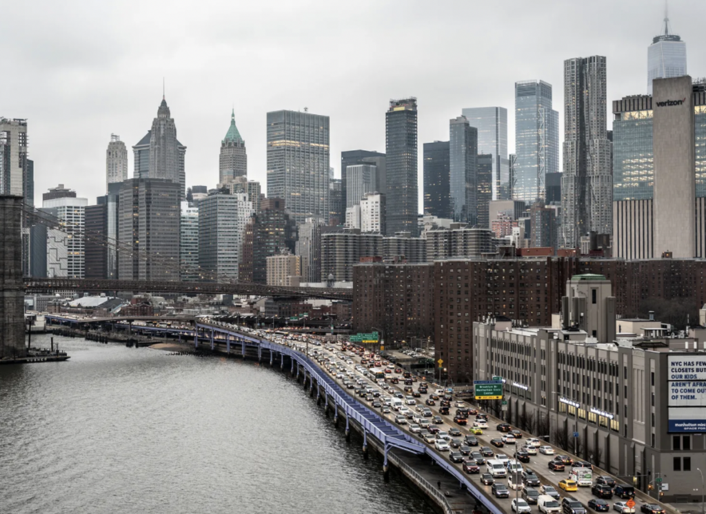
The city has a new proposal for protecting the Financial District and Seaport from future flooding: extending the eastern edge of Manhattan’s tip by up to 188 feet — while raising the shoreline and possibly taking down the elevated FDR Drive from the Brooklyn Bridge to the Battery.
The city’s Economic Development Corporation plans to reveal a master plan for the FiDi – Seaport resilience project — first proposed by Mayor Bill de Blasio in 2019 as a possible 500-foot extension of Lower Manhattan into the harbor — by the end of the year.
The concept developed from big-picture thinking following Superstorm Sandy about how to protect low-lying parts of the island. In the Financial District, daily high tides will likely flood the area two to three blocks inland by 2100, according to the EDC’s analysis of Federal Emergency Management Agency data. By then, coastal storms could surge 18 feet above the current esplanade.
And within that section of Manhattan is a dizzying array of critical infrastructure, both below ground and above — including subway tunnels, office buildings, homes and utilities.
“I can’t imagine anywhere in the United States that is a bigger conundrum in terms of resilience infrastructure,” said Melanie Dupuis, a Pace University environmental studies and science professor who has been keeping an eye on the project. “If they can solve that one they can solve anything. They’ll have to solve it with money and lots of very innovative engineering.” Read more>>